Winter of 1953-54
The US Army Corps of Engineers needed to make some repairs to Lock & Dam #24 downstream at Clarksville, MO. It was necessary to lower the water level of the river in order
to carry out this work. Since winter is traditionally low water flow and low barge traffic, the gates on the lock were completely opened and allowed most of the water drain out.
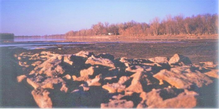
The river dropped to about 10 to 12 feet lower than a typical level. My family walked out to see this unusual sight on this sunny, cold and dry January 1954 day.
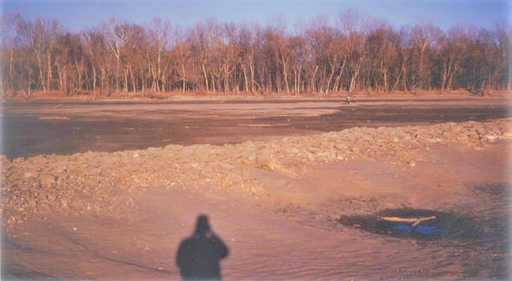
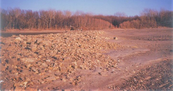
Dad took a photo of my mom, my sister and brother and me. The rock structure is a dike or wing dam used to control the river flow.
Normally it is under several feet (3 to 5) of water and not visible. Notice that the river bed is nearly all sand...this is typical of most all areas.
Silt or mud riverbed is not common and this sand/gravel mix can extend to nearly 100 feet deep throughout the entire valley with only a soil layer of 10 or 15 feet thick on top that we farm.
The size of this wing dam is deceiving...if you look closely at the center of this photo, you will see my mom holding my brother and standing on top of the dike.
Although the main channel still has some water, no barge traffic is possible due to the extremely shallow depths.
Fish populations are concentrated in the remaining deeper pools or headed south with the water as it drained out.


